
About Ludhiana
Ludhiana, a municipal corporation in the district of the same name and a major city in the Indian state of Punjab, is famous for its agriculture and manufacturing industries. It ranks as the biggest city in Punjab. The city is regarded as an important industrial hub in Northern India.
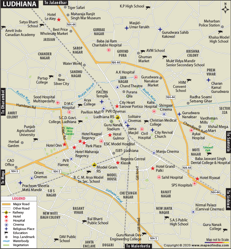
Where is Ludhiana located?
All Ludhiana maps show that the city is situated in the center of Punjab. The city lies on the previous riverbanks of the Sutlej River, at a distance of 13 kilometers towards the south of its current itinerary. The city of Ludhiana, to its inhabitants, is made up of the New City and Old City and is a part of the Malwa province in Punjab. However, governmentally, it comes under the jurisdiction of the Patiala Division.
The city lies at a distance of around 100 km from Chandigarh, the capital of Punjab. It is situated to the west of Chandigarh on National Highway 95. The city can also be accessed from New Delhi, the capital of India and Amritsar, another important city in Punjab through NH-1.
Ambala - 96 kms
Delhi - 315 kms
Amritsar - 136 kms
Jalandhar - 57 kms
The city shares its boundaries with the Sutlej River, Hoshiarpur district, and Jalandhar district to the north, the Moga district to the west, the Rupnagar district to the east, and Patiala and Sangrur districts to the southeast and south.
Area and population of Ludhiana
The city covers a total area of 120 sq miles or 310 sq km and according to the population estimates in 2010, the population of Ludhiana is 1,740,247. The density of population of the city is 14,540 /sq mi or 5,614 /km2. The population of the city rises significantly at the time of crop reaping because of influx of manual workers from states like Bihar, Uttar Pradesh (the eastern provinces), Delhi, and Orissa. The city is regarded as a famous NRI district in the state with a considerable number of people staying overseas in countries like the United States, United Kingdom, and Canada.
Geographical Features of Ludhiana
The mean elevation of the city is 798 feet (244 meters) and the latitude and longitude of the city are 30.9° North and 75.85° East. Topographically, the place can be divided into the following areas:
- The Sutlej flood plain
- The highland plain
Weather
The city has a somewhat dry weather according to the Koppen climate classification and the three distinct seasons are the following:
- Monsoon
- Summer
- Winter
Prominent Educational Institutes in Ludhiana
Given below are the names of the major educational institutes in the city:
- Guru Nanak Dev Engineering College
- Bhutta College of Engineering And Technology
- Ludhiana College of Engineering & Technology
- Punjab Agricultural University (PAU)
- SDP College for Women
- PCTE Group of Institutes Baddowal
- Guru Nanak Institute Of Management & Technologies (Coeducational)
- Khalsa College, Gujranwala
- Arya College for Boys
- B.C.M College of Education
- Sri Aurobindo College of Commerce and Management
- Kamla Lohtia College
- SCD Government Colleges for Boys and Girls
How to reach Ludhiana
The city of Ludhiana is aptly linked to the national capital by regular train service, roadways, and flights.
Roadways:
Ludhiana lies on the Grand Trunk Road in the segment from Amritsar to Delhi. Chandigarh, New Delhi, Amritsar and other important cities in the state are well joined with Ludhiana by roadways.
By Air:
The closest major airport lies at Chandigarh, the capital of the state. The distance is around is 100 km from the city.
By Rail:
The railway station at Ludhiana is advantageously joined with New Delhi and other major places in the country. Regular train services are available to Amritsar, Jammu, Mukerian, Jalandhar, Delhi, Pathankot, Kolkata, and Mumbai.
Culture of Ludhiana
Ludhiana is religiously diverse. People from different parts of the country migrated here ad coexisting regardless of religious and cultural diversity.
Major Tourist Attractions in Ludhiana
Given below are the names of the various tourist draws in the city of Ludhiana:
- Holy Cross Church - Sarabha Nagar
- Christ King Church - Sahnewal
- Shri Durga Mata Mandir
- Jama Masjid
- Rakh Bagh Park
- Nehru Rose garden
- Punjab Agricultural University Museum
- Water Resource Museum, Punjab Agricultural University
- Deer Park, Neelon
- Gurdwara Alamgir Sahib, Alamgir
- Gurdwara Manji Sahib, Ludhiana
Major Industries in Ludhiana
The major industrial houses in Ludhiana are as follows:
- Hero Group
- Oswal Group
- Nahar Group
- Avon Cycles
- Ralson
Top Hotels in Ludhiana
Some of the top hotels in the city are given below:
- City Heart and Taksonz Hotels
- Imperial Plaza Hotel
- Park Plaza
- Maharaja Regency
Major Hospitals and Healthcare Centers in Ludhiana
st Time to Visit Ludhiana
The ideal time to tour Ludhiana is from February to the middle of April.
Last Updated on: May 13, 2020