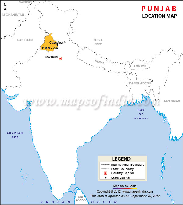
Punjab has a population of 27,704,236 people and the official Spoken language is Punjabi. After the partition of India in 1947, The Indian Punjab was divided in 1966 with the formation of the new states of Haryana and Himachal Pradesh, as well as the current state of Punjab. Punjab is the only state in India with a majority Sikh population. The state got its name from Persian words "Panj" and "Ab" which mean "five" and "water". Punjab is called as the "Land of Five Rivers". The five rivers are the Beas, Ravi, Sutlej, Jehlum and Chenab.
Punjab has 22 districts which include a number of sub-divisions, tehsils and blocks. The Districts is Punjab are as follows: Amritsar, Barnala, Bathinda, Firozpur, Fazilka, Fatehgarh Sahib (Sirhind-Fategarh), Faridkot, Gurdaspur, Hoshiarpur, Jalandhar, Kapurthala, Ludhiana, Mansa, Moga, Mohali, Muktsar, Patiala, Pathankot, Rupnagar, Sangrur, Shaheed Bhagat Singh Nagar (Nawanshahr) and Tarn Taran. There are total 14 cities and 157 towns in Punjab.
The state of Punjab can be divided into following regions:
Malwa region - South to the River Sutlej, the Malwa region consists of 11 districts and makes up the majority of Punjab. Ludhiana, Sangrur, Patiala, Barnala, Firozpur, Bathinda, Moga, Rajpura and Mohali are located in this region. The region is famous for cotton farming.
Majha region - It is a historical region which comprising modern districts of Amritsar, Gurdaspur, Pathankot and Tarn Taran. The region lies between rivers Beas, Ravi and Sutlej. The region is called as the 'Cradle of Sikhism' and the heartland of Punjab.
Doaba region - As the name Doaba literally means the "land between two rivers", this region lies between the rivers Sutlej and Beas. This region is amongst the largest producers of wheat in the world. It is a fertile region and was the centre of the Green Revolution in India. Jalandhar, Hoshiarpur, Nawanshahr and Kapurthala are the cities located in this region.
| States Location Map |
| Union Territories Location Map |