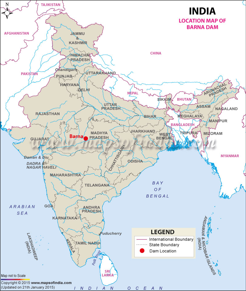
| Barna Dam Facts | |
|---|---|
| Dam Name | Barna Dam |
| State Name | Madhya Pradesh |
| Type of dam | Gravity/ Masonry |
| Nearest City | Bareli |
| Impounds | Barna River |
| District Name | Raisen |
| Catchment Area | 1,176 km2 (454 sq mi) |
| Lat / Long | 23.051180, 78.063208 |
| Total Storage Capacity | 539,000,000 m3 |
| Purpose | Irrigation and Fish farming |
| Construction began | N.A. |
| Opening date | In 1978 |
| Height | 47.7 meters |
| Length | 432 meters |
| Width (crest) | 4.6 meters |
| Spillway Gates | 8 |
| Spillway Type | Radial |
| Project | Barna Water Resource Project |
Last Updated on : December 15, 2015

