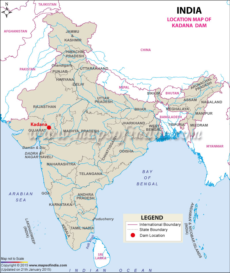
| Kadana Dam Facts | |
|---|---|
| Dam Name | Kadana dam |
| State Name | Gujarat |
| Type of dam | Earthen, Masonry |
| Nearest City | Santrampur |
| Impounds | Mahi River |
| District Name | Panchmahal |
| Catchment Area | 25520 km2 |
| Lat / Long | 23.305884, 73.825523 |
| Total Capacity | Information is not available |
| Purpose | Irrigation, Hydro-Power & Flood Protection |
| Construction began | In 1979 |
| Opening date | In 1989 |
| Height | 66 metres |
| Length | 1551 meters |
| Spillway Gates | 27 |
| Type of Spillway Gates | Radial |
| Project | Kadana Irrigation Project |
Last Updated on : November 13, 2025
