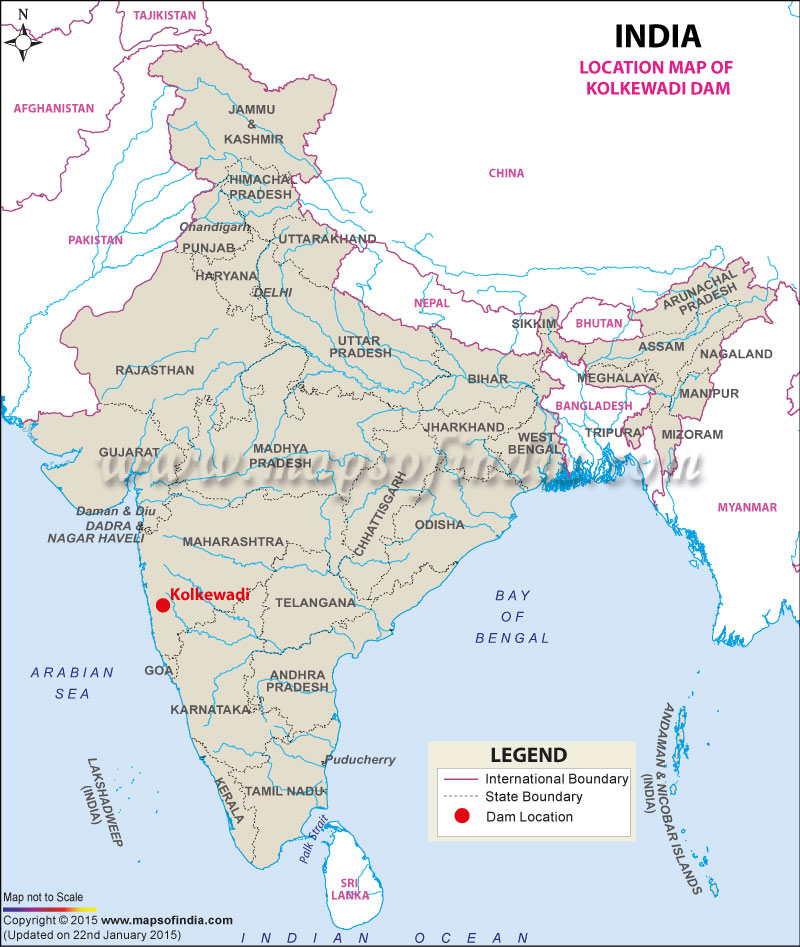
| Kolkewadi Dam Facts | |
|---|---|
| Dam Name | Kolkewadi Dam |
| Known as also | Kolkiwadi Dam |
| State Name | Maharashtra |
| Type of dam | Gravity |
| Operated by | Maharashtra State Electricity Board. |
| Nearest Town | Chiplun |
| Impounds | Vashishti River |
| District Name | Ratnagiri |
| Surface Area | 25.40 km2 |
| Lat / Long | 17.472985, 73.643797 |
| Total Storage Capacity | 1.32 TMC |
| Purpose | Hydroelectric Power Generation |
| Construction began | N.A. |
| Opening date | In 1975 |
| Height | 63.3 meters |
| Length | 497 meters |
| Power Generation Capacity | 320 MW |
| Spillway Gates | 3 |
| Spillway Type | Ogee |
| Type of Spillway Gates | Radial |
| Project | Koyna Hydroelectric Project-Stage III |
Last Updated on : February 19, 2026
