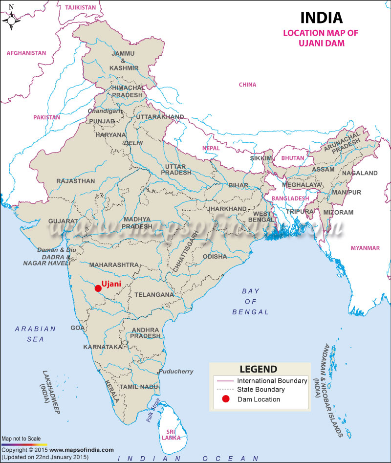
| Ujani Dam Facts | |
|---|---|
| Dam Name | Ujani Dam |
| Official Name | Bhima Dam |
| State Name | Maharashtra |
| Type of dam | Earthen / Gravity |
| Operated by | Water Resources Department of Maharashtra Govt. |
| Nearest City | Baramati |
| Impounds | Bhima River |
| District Name | Solapur |
| Catchment Area | 14,850 km2 (5,730 sq mi) |
| Lat / Long | 18.073991, 75.119968 |
| Total Storage Capacity | 110 TMC |
| Purpose | Irrigation and Electric Power Generation |
| Construction began | In 1969 |
| Opening date | In 1980 |
| Height | 56.4 meters |
| Length | 2,534 meters |
| Width | 6.7 meters |
| Power Generation Capacity | 12MW |
| Spillway Type | Concrete |
| Spillway Gates | 41 |
| Type of Spillway Gates | Radial |
| Project | Bhima Irrigation Project |
Last Updated on : February 19, 2026
