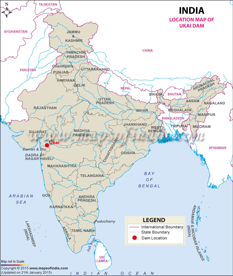
| Ukai Dam Facts | |
|---|---|
| Dam Name | Ukai Dam |
| State Name | Gujarat |
| Also Known By | As Vallabh Sagar |
| Type of dam | Earthen, Masonry |
| Nearest City | Songadh |
| Impounds | Tapti River |
| District Name | Border of Surat and Tapi District |
| Catchment Area | 62,255 km2 |
| Lat / Long | 21.248251, 73.589402 |
| Total Capacity | 7414.29 Mm3 |
| Purpose | Irrigation, Power Generation and flood control. |
| Construction began | In 1964 |
| Opening date | In 1972 |
| Height | 80.772 meters |
| Length | 4,927 meters |
| Spillway Gates | 22 |
| Type of Spillway Gates | Radial |
| Project | Ukai Water Resources Project |
Last Updated on : January 14, 2026
