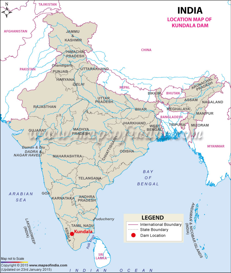
| Kundala Dam Facts | |
|---|---|
| Dam Name | Kundala Dam |
| Known as also | Kundala Arch Dam, Sethuparvathipuram Dam |
| State Name | Kerala |
| Type of dam | Artificial (man-made) |
| Built By | N.A. |
| Nearest Town | Munnar |
| Impounds | Kundala Lake |
| District Name | Idukki |
| Lat / Long | 10.143592,77.198653 |
| Purpose | Irrigation |
| Construction began | N.A. |
| Opening date | In 1946 |
| Height | 1700 meters |
| Length | 259 meters |
| Spillway Type | Ogee |
| Spillway Gates | 5 |
| Creates | Kundala Reservoir |
| Project | Pallivasal Hydroelectric Project |
Last Updated on : February 19, 2026
