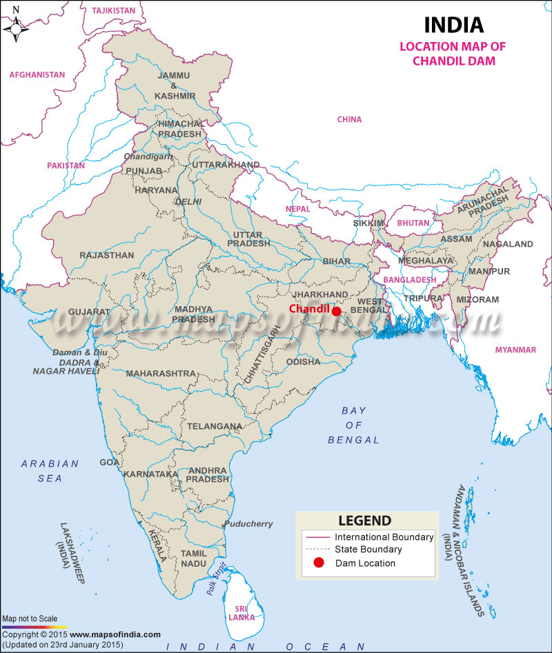
| Chandil Dam Facts | |
|---|---|
| Dam Name | Chandil Dam |
| State Name | Jharkhand |
| Type of dam | Earthen / Gravity |
| Nearest City | Jamshedpur |
| Impounds | Swarnarekha River |
| District Name | Saraikela Kharsawan |
| Lat / Long | 22.974663, 86.020807 |
| Total Storage Capacity | 1500000m3 |
| Purpose | Irrigation, Hydroelectric, Drinking / Water Supply |
| Power Generation Capacity | 2x4 MW |
| Construction began | In 1978 |
| Height | 56.80 meters |
| Length | 720.10 meters |
| Spillway Gates | 13 |
| Project | Hydro-Electric Power Project, Subernarekha Multipurpose Project |
Last Updated on : December 15, 2015

