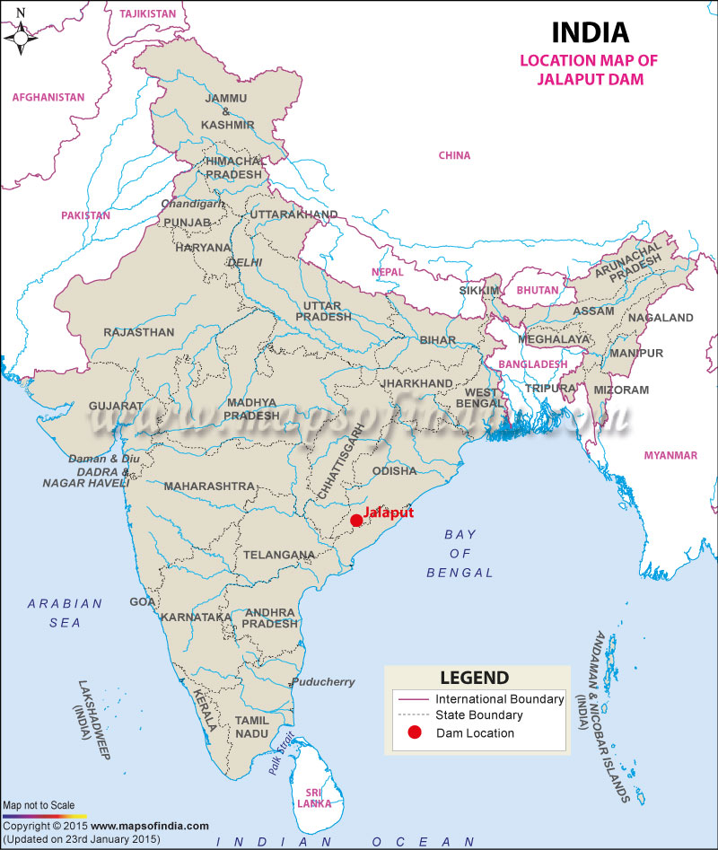
| Jalaput Dam Facts | |
|---|---|
| Dam Name | Jalaput Dam |
| State Name | Andhra Pradesh and Odisha |
| Type of dam | Gravity, Masonry |
| Owner | Government of Andhra Pradesh and Odisha |
| Operated by | N.A. |
| Nearest City | Visakhapatnam |
| Impounds | Machkund River |
| District Name | Visakhapatnam |
| Catchment Area | 1963 km2 (755 sq. miles) |
| Lat / Long | 18.459192, 82.548478 |
| Total Storage Capacity | 34.273 TMC |
| Purpose | Irrigation and Electric Power Generation |
| Construction began | In 1946 |
| Opening date | In 1955 |
| Power Generation Capacity | 120 MW |
| Height | 61 meters |
| Length | 419 meters |
| Dam Volume Content | 313 (103 m3) |
| Spillway Gates | 8 |
| Project | Machkund Hydro-Electric Scheme (MHES) |
Last Updated on : July 01, 2025
