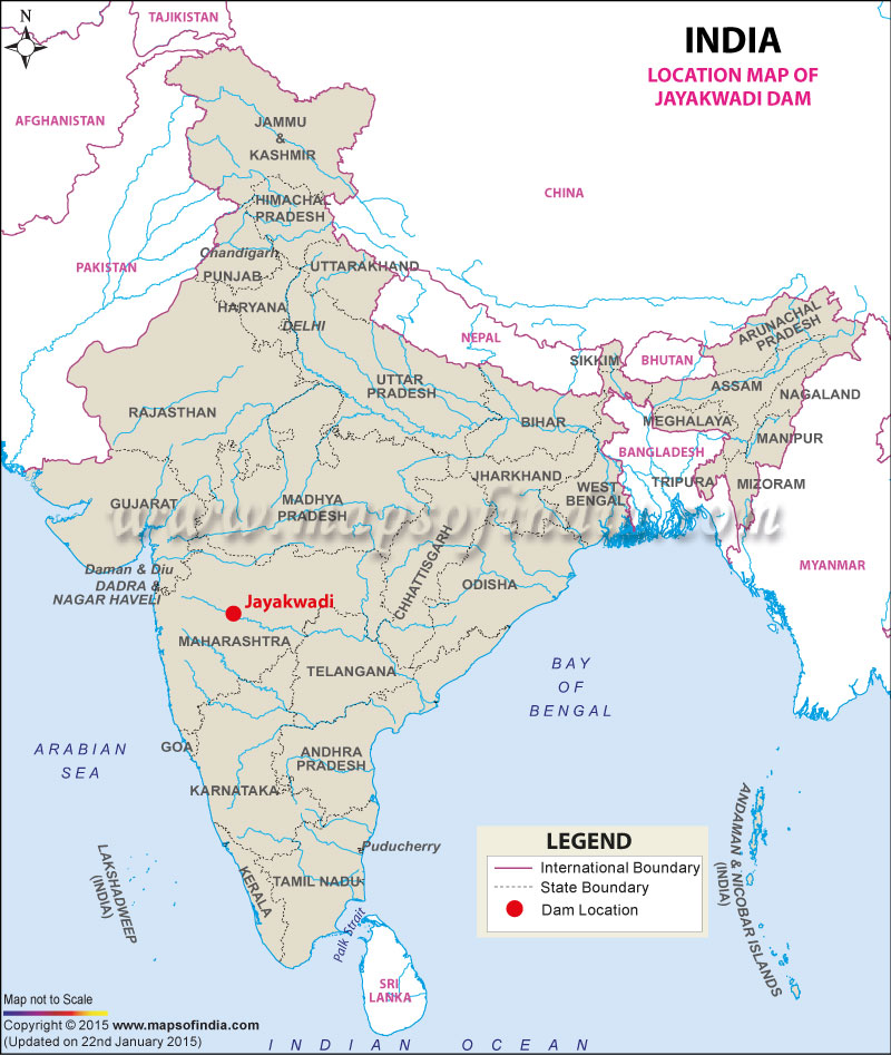
| Jayakwadi Dam Facts | |
|---|---|
| Dam Name | Jayakwadi Dam |
| State Name | Maharashtra |
| Type of dam | Earthen |
| Built By | Godavari Marathwada Irrigation Development Corporation |
| Nearest City | Paithan |
| Impounds | Godavari River |
| District Name | Aurangabad and Jalna |
| Catchment Area | 21,750 km2 (8,398 sq mi) |
| Lat / Long | 19.485770, 75.370011 |
| Total Storage Capacity | 2,171 million m3 |
| Purpose | Multipurpose:- Irrigation, Water Supply and Electric Power Generation |
| Construction began | In 1965 |
| Opening date | In 1976 |
| Height | 41.30 meters |
| Length | 9,998 meters |
| Power Generation Capacity | 12 MW |
| Spillway Gates | 27 |
| Spillway Type | Ogee |
| Type of Spillway Gates | Radial |
| Creates | Nath Sagar Jalashay Reservoir |
| Project | Multipurpose Jayakwadi dam Project, Jayakwadi Stage - I Major Irrigation Project |
Last Updated on : January 14, 2026
