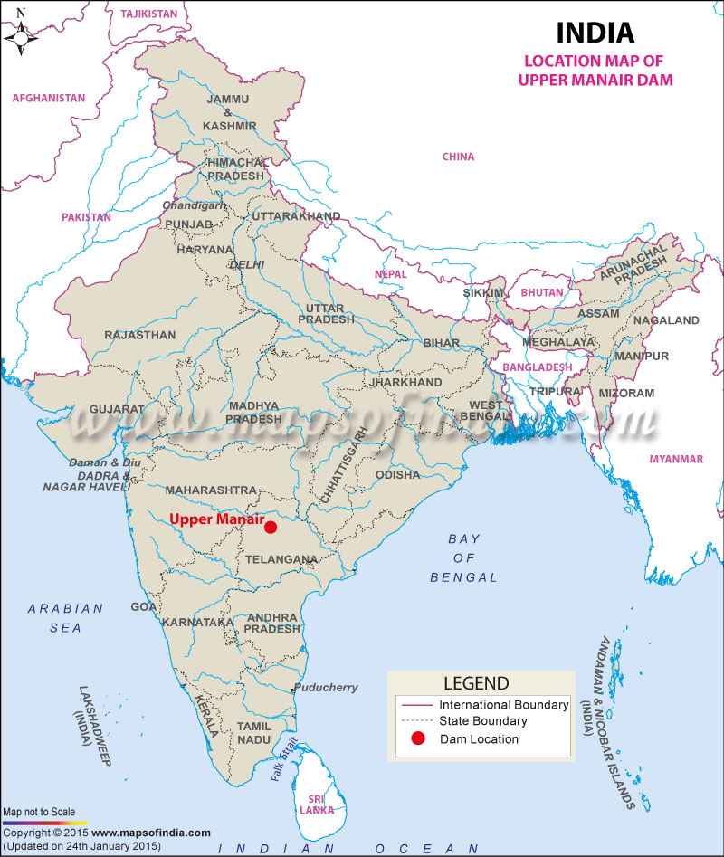
| Upper Manair Dam Facts | |
|---|---|
| Dam Name | Upper Manair Dam |
| State Name | Telangana |
| Type of dam | Earthen, Gravity, Masonry |
| Nearest City | Kamareddy |
| Impounds | Manair River and Kudlair River |
| District Name | Karimnagar |
| Catchment Area | 15290 (103 m3) |
| Lat / Long | 18.273918, 78.541311 |
| Total Storage Capacity | 62,387,000 m3 |
| Purpose | Irrigation |
| Construction began | In 1943 |
| Opening date | In 1950 |
| Height | 31 meters |
| Length | 9,201 meters |
| Width | N.A. |
| Dam Volume Content | 1724.00 (103 m3) |
| Spillway Gates | 3 |
| Spillway Type | Ogee |
| Type of Spillway Gates | N.A. |
| Creates | Upper Manair Reservoir |
| Project | Upper Maniar Medium Irrigation Project |
Last Updated on : July 01, 2025
