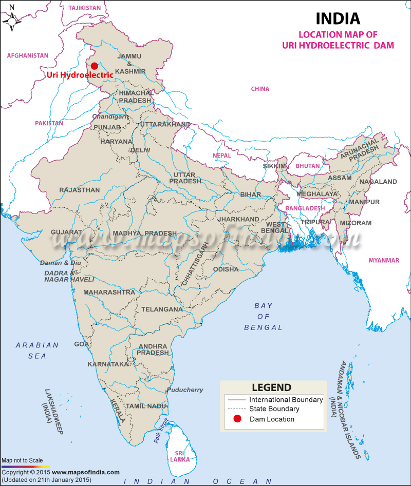
| Uri Hydroelectric Dam Facts | |
|---|---|
| Dam Name | Uri Hydroelectric Dam |
| State Name | Jammu and Kashmir |
| Type of dam | Concrete gravity |
| Nearest Town | Uri |
| Impounds | Jhelum River |
| District Name | Baramula |
| Catchment Area | 12750 km2 |
| Lat / Long | 34.092250, 74.031703 |
| Total Storage Capacity | 225 m3 |
| Purpose | Hydroelectric Power Generation |
| Power Generation Capacity | 240MW |
| Duration of Construction to Opening( Uri-I Project) | In 1989 to 1997 |
| Duration of Construction to Opening( Uri-II Project) | In 2005 to 2007 |
| Height | 52 meters |
| Length | 157 meters |
| Spillway Gates | 4 |
| Project | Uri-I hydroelectric Project and Uri-II hydroelectric Project |
Last Updated on : February 15, 2020

