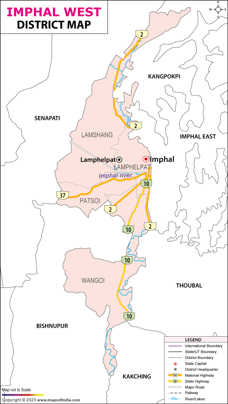
Imphal is the capital of Manipur, which has been divided into two districts, West Imphal and the East Imphal. West Imphal lies in the valley region and is a tiny plain that is surrounded by plains of other districts. West Imphal has its own natural beauty and is full of culture and rich heritage.
Geographical location
West Imphal lies between 24.30 degree north and 25.00 degree north latitudes and between 93.45 degree east and 94.15 degree east longitudes. The city is surrounded by other districts on all sides, with the Imphal east and the Thoubal districts to the east, Senapati districts to the North, Thoubal and Bishnupur to the south, Bishnupur and Thoubal districts to the west. The land of West Imphal is fertile and made up of alluvial soil. The main rivers that can be seen draining the west Imphal are Imphal River, Nambul River and its tributaries.
Industrial progress
As far as progress is concerned, we can see much progress in the west Imphal as there are many industries set up here like the handloom and handicrafts, traditional cottages, small scale industries like the bed sheet, pillow cover, mosquito net, chadar, scarf, shawl etc. There are other industries like the cane industry, jewelry, bamboo industry etc. Some of the large scale industries are the spinning mill at Loitang Khunou and at Takyel that is a bicycle factory and the electronic factory that assembles TV sets.
