
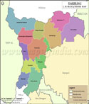
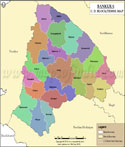
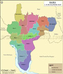
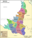
List of C.D.Block in Hugli District | ||
|---|---|---|
| Tehsil/C. D. Block Name | Total : Rural / Urban Population (2001) in Number | Pin Code |
| Arambag | 253,579 | 712601 |
| Balagarh | 214,784 | 712501 |
| Chanditala - I | 165,837 | 712702 |
| Chanditala - II | 213,485 | 712702 |
| Chinsurah - Magra | 211,049 | 712148 |
| Dhaniakhali | 293,345 | 712302 |
| Goghat - I | 125,280 | 712614 |
| Goghat - II | 143,359 | 712614 |
| Haripal | 235,494 | 712403 |
| Jangipara | 201,001 | 712404 |
| Khanakul - I | 221,871 | 712406 |
| Khanakul - II | 160,888 | 712406 |
| Pandua | 284,231 | 712149 |
| Polba - Dadpur | 239,493 | 712154 |
| Pursura | 156,322 | 712401 |
| Serampur - Uttarpara | 126,380 | 712258 |
| Singur | 260,827 | 712409 |
| Tarakeswar | 162,371 | N.A |
Last Updated on : June 24, 2026