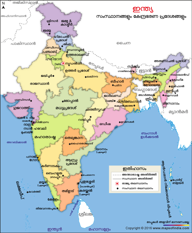
Importance of India Political Map in Malayalam
Our Political map of India is published in different regional languages to enhance the knowledge of people in their vernacular languages. Colour coded in varied shades; these maps show the distinct border of every state or UT as well as the international boundaries around these regions. By looking into such a map, one can even learn the name of every state and UT along with their respective capital cities in their own language. Besides, this kind of regional map also helps one locate his or her native place or any other place within the country in a much easier way. The Political map of India in Malayalam is mostly used by people who uses Malayalam as their mother tongue or vernacular.
Last Updated on : January 20, 2026
View India Map in
|
|
