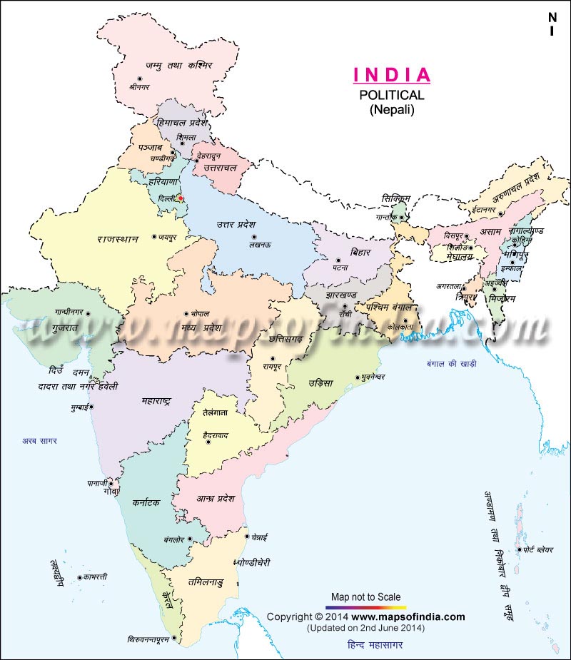
Locating all the political subdivisions and their capitals turns out to be an easy task with this kind of a map. An India political map in Nepali language is available on the Internet as an online version and interested travelers can get an offline version of it by taking a printout. When they go out to visit various places in India, they can carry this map with them which will act as a perfect guide.
They can also decide about their itinerary of touring this huge country with the help of this map. As a large number of visitors to India come from Nepal, this map will undoubtedly be of tremendous help to them. They can easily identify the capitals of the 29 states and seven union territories of the seventh largest country in the world without any difficulties. The Nepali language is used in some parts of Northeast India as well and people belonging to these places can also use this map as a tourist guide.
Last Updated on : January 20, 2026
View India Map in
