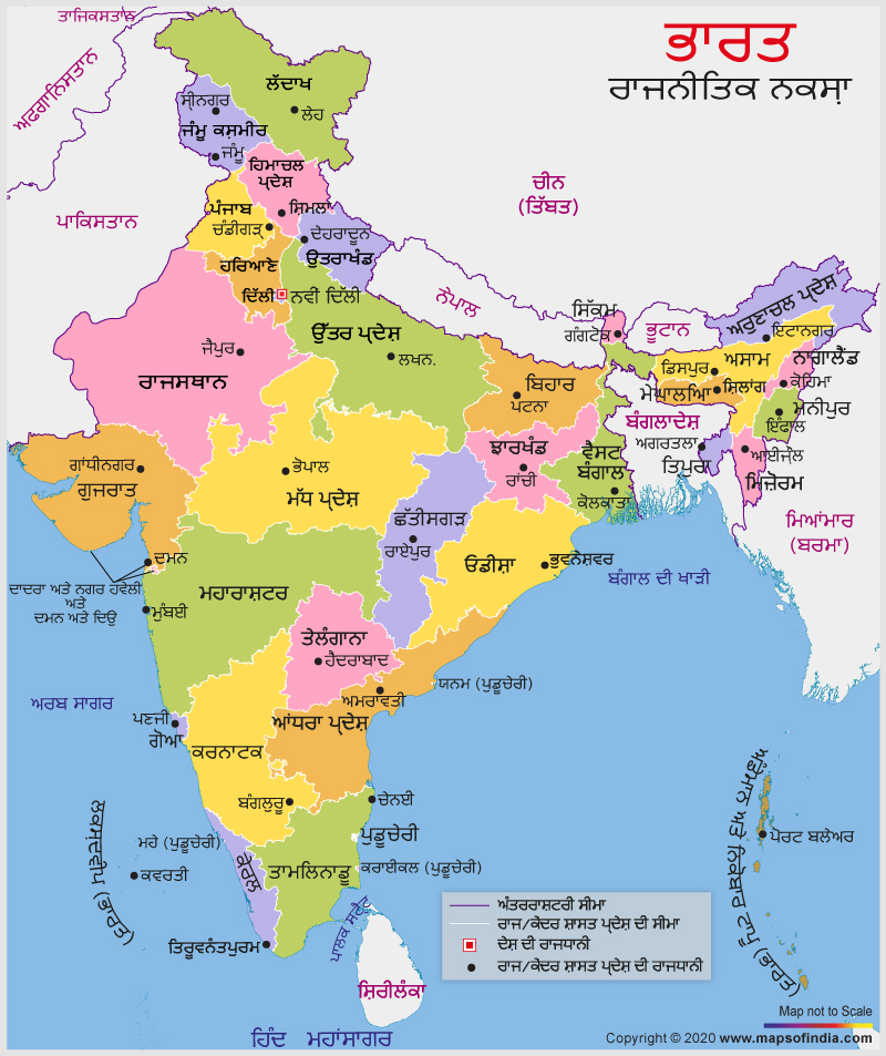
Pakistan bounds Punjab or the land of five rivers to the west and states like Haryana, Rajasthan, Jammu and Kashmir, and Himachal Pradesh are its neighbours. The state is a very popular tourist destination; housing top-rated tourist draws like Chandigarh, Amritsar (famous for the Golden Temple), Ludhiana and Jalandhar. Visitors to India can also carry an India Map in the Punjabi language with them to locate the capitals of various states that also rank as important tourist destinations in the country. These maps are also available in interactive and customized versions where you can plot points, modify the map, zoom in, zoom out, and move to a specific place of interest. All these features make these maps more beneficial, and you have the option of searching, saving, and watching the map as per your needs.
Last Updated on : January 20, 2026
View India Map in
|
|
