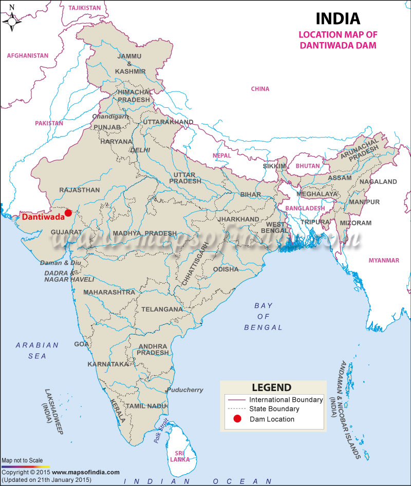
| Dantiwada Dam Facts | |
|---|---|
| Dam Name | Dantiwada Dam |
| State Name | Gujarat |
| Type of dam | Earthen, Masonry |
| Nearest Cities | Palanpur, Deesa |
| Impounds | Banas River |
| District Name | Banaskantha |
| Catchment Area | 40 km2 |
| Lat / Long | 24.332529, 72.348579 |
| Total Capacity | 1418 Tcm |
| Purpose | Irrigation |
| Construction began | In 1958 |
| Opening date | In 1965 |
| Height | 61 meters |
| Length | 4832 meters |
| Spillway Gates | 11 |
| Type of Spillway Gates | Radial |
| Project | Dantiwada Water Resources Project |
Last Updated on : December 15, 2015

