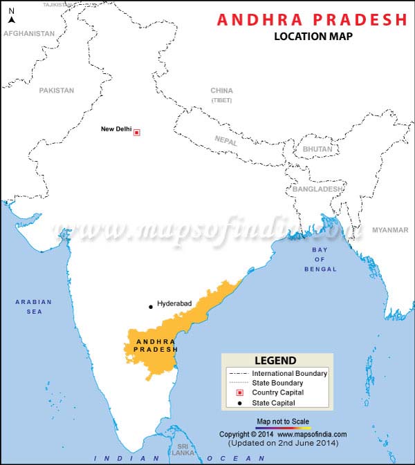
The state of Andhra Pradesh is surrounded by the Indian states of Karnataka, Tamil Nadu and Maharashtra. While Maharashtra, Chattisgarh and Orissa border Andhra Pradesh in the North and Tamil Nadu in the south, Karnataka in the West bound the state. The state is enclosed by Bay of Bengal from the East.
Among the other Indian cities in southern India, the state of Andhra Pradesh is the largest and the most populous with a total population of 76,210,007. The whole state can be segmented into three main regions. These regions are: -
- The Coastal Andhra, which comprises of Srikakulam, Visakhapatnam, East Godavari, West Godavari, Krishna, Guntur, Ongole and Nellore districts. It is also known as the Northern Circars.
- The Rayalaseema or Ceded districts, which consists the districts of Kurnool, Cuddapah, Chittoor and Anantapur.
Last Updated on : February 19, 2026
