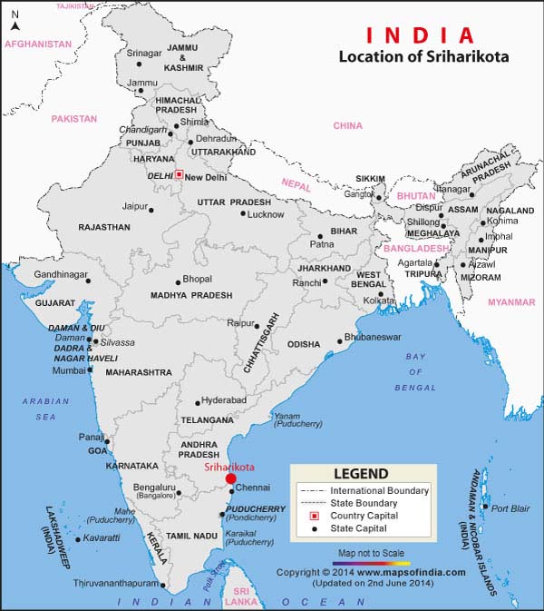
Sriharikota is a spindle shaped island off the coast of Andhra Pradesh and is home to India's only satellite launch centre, known as the Satish Dhawan Space Centre (known as SHAR) and is used by the Indian Space Research Organization (ISRO) to launch satellites using multi stage rockets such as the Polar Satellite Launch Vehicle and the Geosynchronous Satellite Launch Vehicle.
How to get to Sriharikota
Rail: Visitors can take the electric train from Chennai to Sullurpeta, which is the closest town to Sriharikota. The journey would take around two to two and a half hours and is reasonably priced too.
Road: The best way to get to Sriharikota by road is to take the bus from Chennai's CMBT (Chennai Mofussil Bus Terminus) at Koyambedu in Chennai. Buses from here will drop you to Sullurpeta. The bus journey takes two hours.
Last Updated on : January 14, 2026
