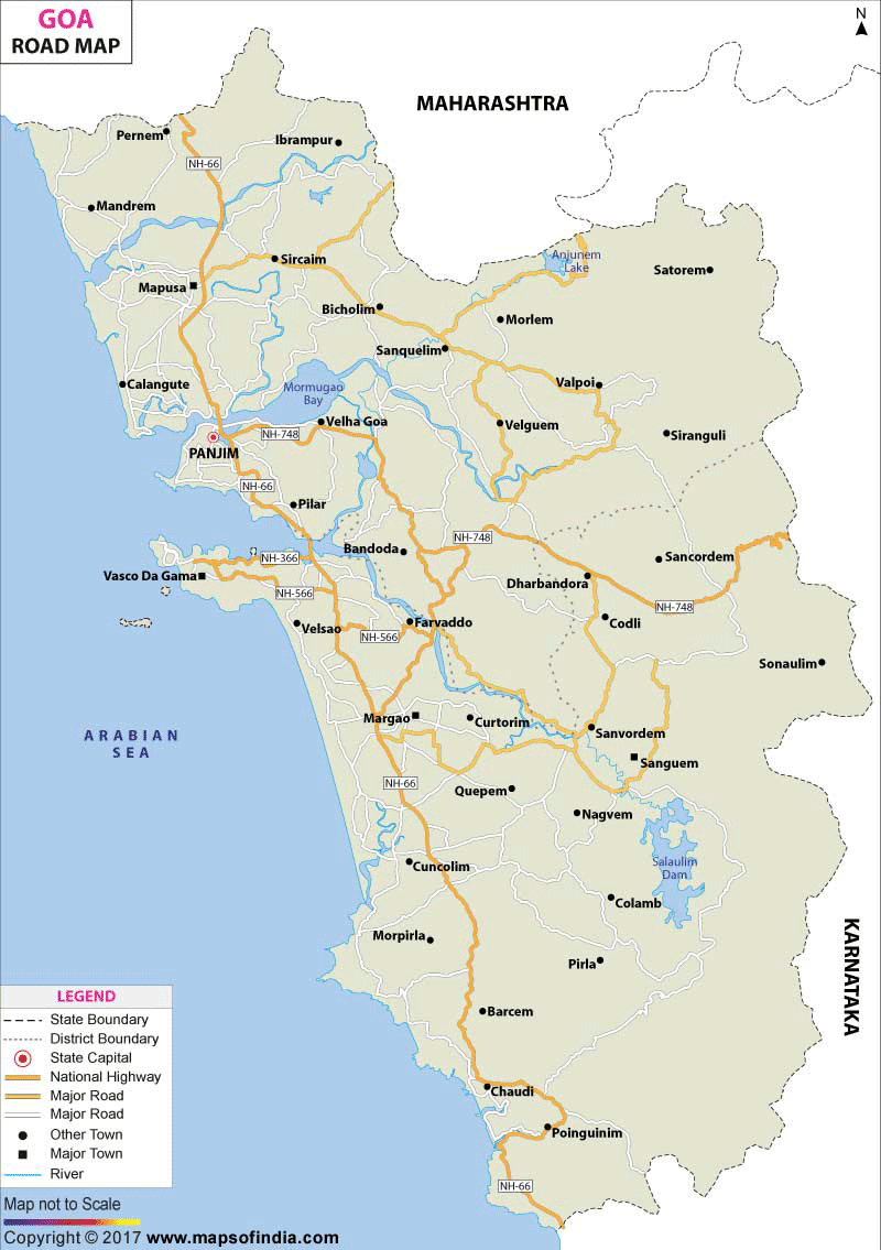
These modes of conveyance can be availed at fairly regular intervals throughout the day.
The charges, however, are subject to distance and season.
Most of these services are operated by the state owned Kadamba Transport Corporation (they have blue and white buses).
However, transport services are also provided by the transport corporations of the respective states and private bus operators who provide AC and Deluxe facilities.
The bus services in Goa operate from the Kadamba Bus Stand in Panaji and many other such stands from the other Goan towns.
Most of the arrivals through roadways to Goa take place in the early hours of the morning, while departures are mainly in the afternoon.
The buses stop at intervals for meal breaks at restaurants along the way. Ticket charges vary from Rs 250 to Rs 650, depending upon the distance, the season, the demand and the quality of bus service.
A journey between Mumbai, and Goa, via the roadways to Goa, takes approximately 12-16 hours.
Read more about how to reach Goa by road
Last Updated on: February 19, 2026

