Coimbatore District Map


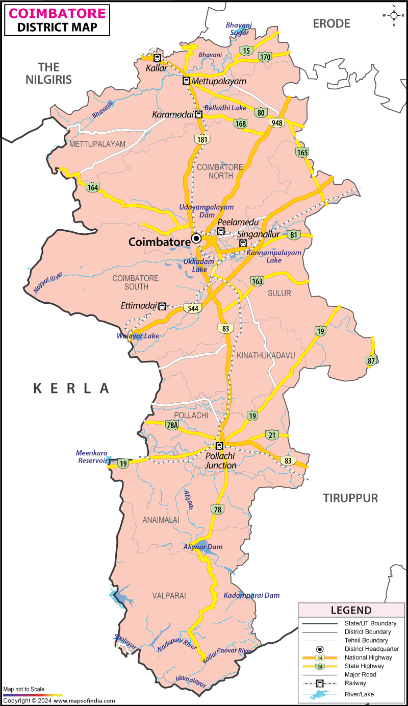
District Map of Coimbatore

separator Click here for Customized Maps arrow custom map
District Map of Coimbatore
Print Email Save Buy Now 
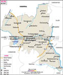
*The Map showing the National Highway, Major roads, other Roads, District Headquarter, Town, etc in the Coimbatore District, Tamil Nadu Disclaimer


  Major Districts of Tamil Nadu  
Kanchipuram District Map Vellore District Map Salem District Map Tirunelveli District Map
Kanchipuram District MapVellore District MapSalem District MapTirunelveli District Map
    
Erode District Map Tiruvallur District Map Thanjavur District Map Viluppuram District Map
Erode District MapTiruvallur District MapThanjavur District MapViluppuram District Map
  other districts of Tamilnadu  >>

The district of Coimbatore is one of the largest districts of the state of Tamil Nadu, covering the geographical area of 7469 Sq. km. For proper administration the district is divided into three Revenue Divisions, namely Coimbatore, Pollachi and Tirupur and nine Taluks comprising of 482 Revenue villages. The total population of Coimbatore district is 42,71,856 with 21,76,031 females and 20,95,825 males.

Out of the three Revenue Divisions, the economy of Coimbatore Division is dependent on industries, Pollachi is dependent on agriculture and Tirupur both on agriculture and hosiery manufacturing industries.

Coimbatore has a number of tourist attractions, to name a few:
  • Immanuel Church,

  • Christ Church,

  • Aliyar Dam, Near Pollachi

  • Thirumurthy Dam, Udumalpet

  • Amaravathy Dam, Udumalpet

  • Kovai Kutralum, Perur, Coimbatore

  • Siruvani Dam, Near wallaiyar

  • Parambikulam Dam, Udumalpet

  • Valparai Hill Station

  • Cholayar Dam, Valparai

  • Kadamparai Power House, Valparai

  • Tamilnadu Agri. University Botanical Gardens

  • Horticulture Farms, Kallar, Near Mettupalayam

  • Vaitheki Falls, Narasi Palayam

  • Top Slip, Pollachi

  • V.O.C Park, Coimbatore

  • Koniamman Koil Temple

  • Patteswarar Temple


Last Updated on : February 27, 2024