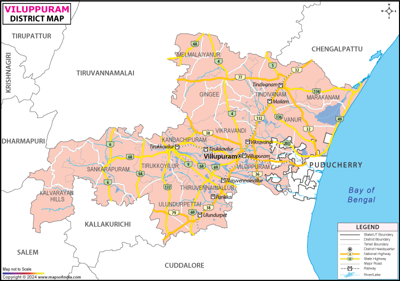
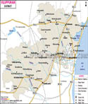
The main crops grown in Viluppuram district are paddy, colam, ragi, cumbu, redgram, blackgram, horsegram and varage. Some cash crops of the region are sugarcane, groundnut, cotton, casurina and coconut. Black granite, blue metals, and river sand are the major minerals of the district. Viluppuram district is growing as an important industrial sector. One of the major industries in the district is the Sugar industry. Handloom is another sector that is growing rapidly.
Popular tourist destinations of Viluppuram district include:
- Hanuman Temple
- Rajagiri Fort
- Gingee Fort
- Nandieswarar - Thiruvamathur Temple
- Esalam Temple
- Angala Parameswari - Melmalayanur
- Venkataramana Temple
- Krishnagiri Fort
- Narasimma Swamy Koil - Ennairam
- Pachchaiamman Temple
- Melnaariyappanoor Church
- Marakanam Beach
- Matrimandir
- Kalyana Mahal
- Venugopala swamy Temple
- Ranganatha temple
- Sad - at - Ullah Khan Mosque
Last Updated on : January 14, 2026
