Tirunelveli District Map


District Map of Tirunelveli

separator Click here for Customized Maps arrow custom map
District Map of Tirunelveli
Print Email Save
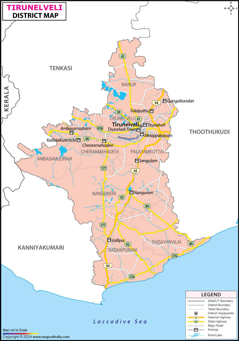
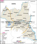
*The Map showing the National Highway, Major roads, other Roads, District Headquarter, Town, etc in the Tirunelveli District, Tamil Nadu Disclaimer


  Major Districts of Tamil Nadu  
Kanchipuram District Map Vellore District Map Salem District Map Tirunelveli District Map
Kanchipuram District MapVellore District MapSalem District MapTirunelveli District Map
    
Erode District Map Tiruvallur District Map Thanjavur District Map Viluppuram District Map
Erode District MapTiruvallur District MapThanjavur District MapViluppuram District Map
  other districts of Tamilnadu  >>

Tirunelveli district covers 6,823 Sq. km of Tamil Nadu. According to 2001 census, the total population of the district is 28,01,194, consisting of 13,72,082 males and 14,29,112 females. It lies between 8 degree 8 minutes and 9 degree 23minutes latitude and 77degree 9minutes and 77 degree 54minutes longitude.

The economy of Tirunelveli district is chiefly agrarian in nature and people are engaged in the cultivation of cumbu, ragi, pulses, groundnut, gingelly, coconut, chillies, indigo and cotton. It is rich in mineral resources of limestone, sulphides and ilmenite - garnet sands.

The famous tourist places of Tirunelveli district are:
  • Mundanthurai Tiger Reserve Wild Life sanctuaries
  • District Science Centre, Tirunelveli (National Council of Science Museums, Government of India)
  • Birds Sanctuary at Koonthankulam
  • Pulithevan Palace
  • Holy Trinity Cathedral (Oosi Gopuram)
  • Courtallam
  • Venkatachalapathy temple at Krishnapuram village
  • Swamy Nellaiappar Temple & Kanthimathi Ambal Temple
  • Sankaranainarkoil
  • Kappal Matha Church, Uvari
  • Pottalpudur Dargha
  • Manjolai - Hill Station


Last Updated on : March 01, 2024