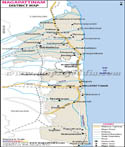
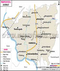
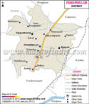
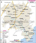
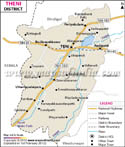
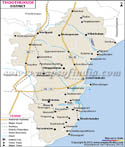
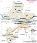
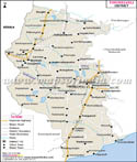
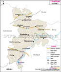
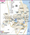
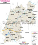
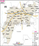
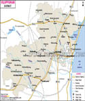
| Click on the Map for Bigger Map |
 |
Tamil Nadu
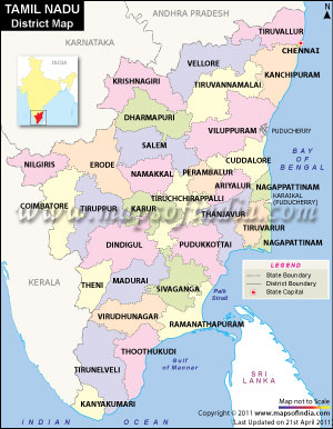
, located in the southern part of India, is one of the most urbanized states of the country. Surrounded by Kerala, Karnataka and Andhra Pradesh it has Nilgiri, the Anamalai and Palakkad on its west. Tamil Nadu in its present form came into being in 1956 from the State of Madras. This eleventh largest state (area wise) in India has 31 districts.
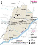
- Ariyalur : Comprising of two divisions- Ariyalur and Udayarpalayam,it came into existence with the bifurcation of Perambalur district,. Encompassing an area of 1949 sq km, this inland district has no well marked natural divisions.
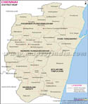
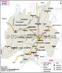
- Chennai: Situated on the north east end of the state, it is the capital of Tamil Nadu. This fourth largest port in the country holds out some of the interesting architectural marvels of South India.
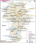
- Coimbatore: Known as the Textile city of South India, it is located on the banks of the river Noyyal.
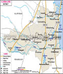
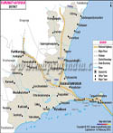
- Cuddalore: Spread over an area of 3678 sq km, the district has a population of 22,85,395 as per census of 2001.
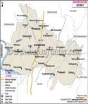
- Dharmapuri: Extended over an area of about 4497 sq km, the district came into being in 1965.
- Dindigul: Carved out of the Madurai District, this district has seen the rule of the famous king, Tipu Sultan.
- Erode: Located on the extreme north of Tamil Nadu, the district was initially a part of the Coimbatore district.
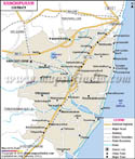
- Kanchipuram: Known by the epithet- the city of thousand temples, it is one of the most revered pilgrim centers of India.
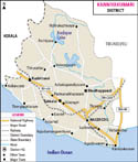
- Kanyakumari: Located on the southern most tip of India, the district is spread over an area of about 1672 sq km.
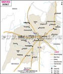
- Madurai: Surrounded by mountains all around, Madurai is known all over the world for its jasmine flowers.
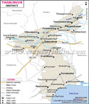
- Thanjavur: Divided into two distinct division, viz the Deltaic region and the Non-deltaic region, it spreads over an area of about 3396 sq km.
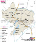
- The Nilgiris: Situated at an altitude of 900 to 2636m above sea level, it covers an area of 2452 sq km. The district is famous for the Kurinji flower, which blooms every 12 years.
- Thoothukudi: Comprising of seven assembly constituencies, the district is located in the extreme south eastern corner of Tamil Nadu
- Virudhnagar: Coming into existence in 1985, the district acquired its present name in 1997.
List of Districts in Tamil Nadu
| Sr. No. | District | District HQ | Population (2011) | Growth | Sex Ratio | Literacy | Area (km2) | Density (/km2) |
|---|
| 1 | Ariyalur | Ariyalur | 754894 | 8.54% | 1015 | 71.34 | 3208 | 387 |
| 2 | Chennai | Chennai | 4646732 | 6.98% | 989 | 90.18 | 174 | 26903 |
| 3 | Coimbatore | Coimbatore | 3458045 | 18.56% | 1000 | 83.98 | 7469 | 748 |
| 4 | Cuddalore | Cuddalore | 2605914 | 14.02% | 987 | 78.04 | 3999 | 702 |
| 5 | Dharmapuri | Dharmapuri | 1506843 | 16.34% | 946 | 68.54 | 4532 | 332 |
| 6 | Dindigul | Dindigul | 2159775 | 12.31% | 998 | 76.26 | 6058 | 357 |
| 7 | Erode | Erode | 2251744 | 11.66% | 993 | 72.58 | 5714 | 397 |
| 8 | Kancheepuram | Kanchipuram | 3998252 | 38.95% | 986 | 84.49 | 4433 | 927 |
| 9 | Kanniyakumari | Nagercoil | 1870374 | 11.60% | 1019 | 91.75 | 1685 | 1106 |
| 10 | Karur | Karur | 1064493 | 13.77% | 1015 | 75.6 | 2901 | 371 |
| 11 | Krishnagiri | Krishnagiri | 1879809 | 20.41% | 958 | 71.46 | 5086 | 370 |
| 12 | Madurai | Madurai | 3038252 | 17.84% | 990 | 83.45 | 3676 | 823 |
| 13 | Nagapattinam | Nagapattinam | 1616450 | 8.57% | 1025 | 83.59 | 2716 | 668 |
| 14 | Namakkal | Namakkal | 1726601 | 15.61% | 986 | 74.63 | 3429 | 506 |
| 15 | Perambalur | Perambalur | 565223 | 14.50% | 1003 | 74.32 | 1752 | 323 |
| 16 | Pudukkottai | Pudukkottai | 1618345 | 10.88% | 1015 | 77.19 | 4651 | 348 |
| 17 | Ramanathapuram | Ramanathapuram | 1353445 | 13.96% | 983 | 80.72 | 4123 | 320 |
| 18 | Salem | Salem | 3482056 | 15.44% | 954 | 72.86 | 5245 | 663 |
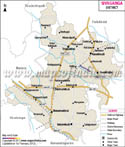
| 19 | Sivaganga | Sivaganga | 1339101 | 15.90% | 1003 | 79.85 | 4086 | 324 |
| 20 | Thanjavur | Thanjavur | 2405890 | 8.56% | 1035 | 82.64 | 3397 | 691 |
| 21 | The Nilgiris | Udagamandalam (Ootacamund/Ooty) | 735394 | -3.51% | 1042 | 85.2 | 2549 | 288 |
| 22 | Theni | Theni | 1245899 | 13.89% | 991 | 77.26 | 3066 | 433 |
| 23 | Thiruvallur | Tiruvallur | 3728104 | 35.33% | 987 | 84.03 | 3424 | 1049 |
| 24 | Thiruvarur | Tiruvarur | 1264277 | 8.11% | 1017 | 82.86 | 2377 | 533 |
| 25 | Thoothukkudi | Thoothukudi (Tuticorin) | 1750176 | 11.32% | 1023 | 86.16 | 4594 | 378 |
| 26 | Tiruchirappalli | Tiruchirappalli | 2722290 | 12.57% | 1013 | 83.23 | 4407 | 602 |
| 27 | Tirunelveli | Tirunelveli | 3077233 | 12.97% | 1023 | 82.5 | 6703 | 458 |
| 28 | Tiruppur | Tirupur | 2479052 | 29.11% | 989 | 78.68 | 5106 | 476 |
| 29 | Tiruvannamalai | Tiruvannaamalai | 2464875 | 12.75% | 994 | 74.21 | 6191 | 399 |
| 30 | Vellore | Vellore | 3936331 | 13.20% | 1007 | 79.17 | 6077 | 646 |
| 31 | Viluppuram | Viluppuram | 3458873 | 16.84% | 987 | 71.88 | 7190 | 462 |
| 32 | Virudhunagar | Virudhunagar | 1942288 | 10.91% | 1007 | 80.15 | 3446 | 454 |
Last Updated on : January 08, 2020

