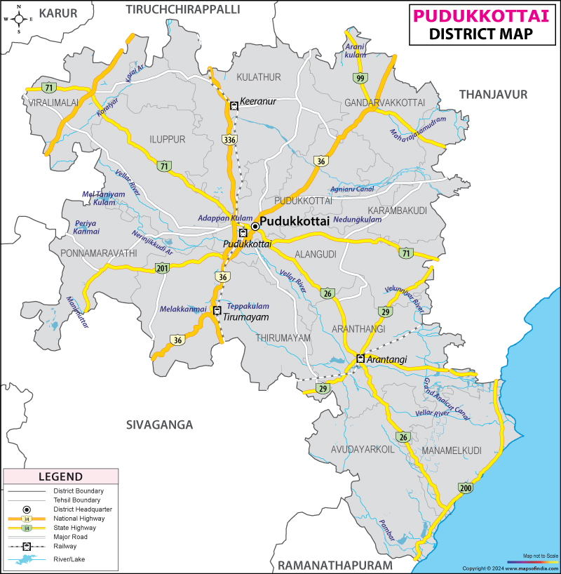
Pudukkottai District Map


District Map of Pudukkottai

separator Click here for Customized Maps arrow custom map
District Map of Pudukkottai
Print Email Save Buy Now 
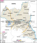
*The Map showing the National Highway, Major roads, other Roads, District Headquarter, Town, etc in the Pudukkottai District, Tamil Nadu Disclaimer


  Major Districts of Tamil Nadu  
Kanchipuram District Map Vellore District Map Salem District Map Tirunelveli District Map
Kanchipuram District MapVellore District MapSalem District MapTirunelveli District Map
    
Erode District Map Tiruvallur District Map Thanjavur District Map Viluppuram District Map
Erode District MapTiruvallur District MapThanjavur District MapViluppuram District Map
  other districts of Tamilnadu  >>

Pudukkottai district covers an area of 4663 Sq. Km. which has a coast line of 39 Kms. The district is located between 78.25' and 79.15' of the East of Longitude and between 9.50' and 10.40' of the North of Latitude.

As per 2001 census, the total population of the Pudukkottai district is 14,59,601, with 7,24,300 men and 7,35,301 female. As the land is not fertile, so agriculture is not very common at Pudukkottai. People are engaged in the mining of granite and laterite. Another source of income is the handloom industry.

Tourist come to visit the following places of Pudukkottai district:

  • Pudukkottai- archeologists paradise
  • Sittannavasal
  • Kudumbalur
  • Thirumayam
  • Kudumiyanmalai Viralimalai
  • Avur
  • Thirukokarnam Pallivasal Avudaiyarkoil
  • Sri Gokarneswara Temple, Thirugokarnam
  • Sittannavasal


Last Updated on : February 28, 2024