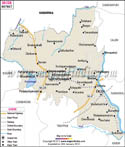
Sivaganga District Map


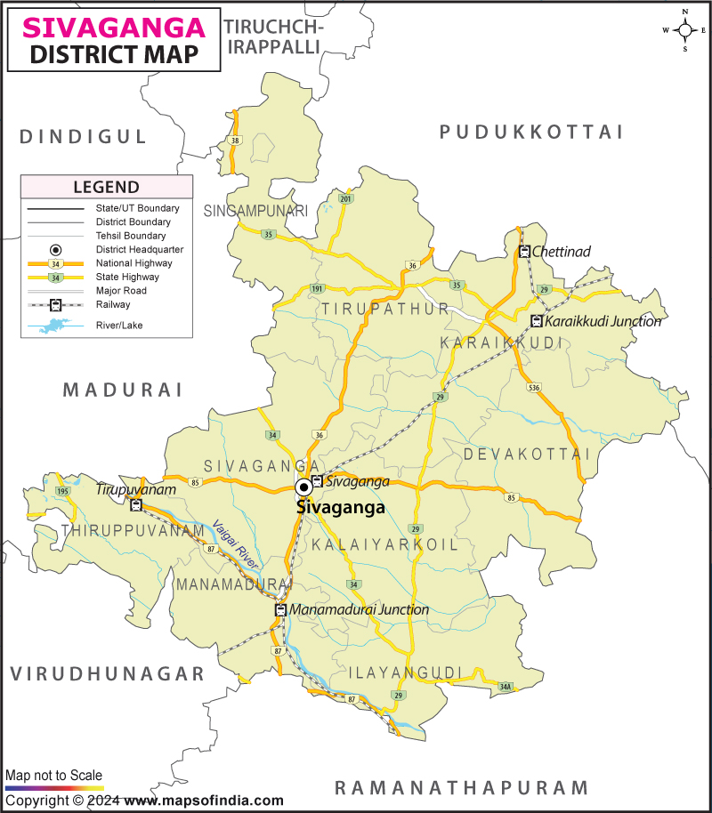
District Map of Sivaganga

separator Click here for Customized Maps arrow custom map
District Map of Sivaganga
Print Email Save Buy Now 
*The Map showing the National Highway, Major roads, other Roads, District Headquarter, Town, etc in the Sivaganga District, Tamil Nadu Disclaimer


  Major Districts of Tamil Nadu  
Kanchipuram District Map Vellore District Map Salem District Map Tirunelveli District Map
Kanchipuram District MapVellore District MapSalem District MapTirunelveli District Map
    
Erode District Map Tiruvallur District Map Thanjavur District Map Viluppuram District Map
Erode District MapTiruvallur District MapThanjavur District MapViluppuram District Map
  other districts of Tamilnadu  >>

Sivaganga district of Tamil Nadu spreads over 4,189 sq. km with the total population of 11,50,753 with male population 5,65,59, and female 5,85,159, according to 2001 Census. The geographical position of Sivaganga district is between 9.43' and 10.2' North Latitude and between 77 30' and 77.47' and 78.49' East Longitude.

The principal crop of Sivaganga district is paddy. The other crops that are grown are millets, cereals, pulses, sugarcane, and groundnut.

The various places of interest in Sivaganga district are:
  • Palace at Kanadukathan
  • Chettinadu Dining Hall
  • Koviloor Temple, Karaikudi
  • Pillaiyarpatti temple
  • Kandadevi Temple
  • Idaikattur Church
  • Kaleeswarar Temple
  • Thirukostiyur Temple
  • Nagarasivan Temple
  • Karaikudi
  • Kovilur Temple
  • Kundrakudi Temple


  • Pincode of Sivaganga

  • Pincode of Kalugarkadai


Last Updated on : February 28, 2024