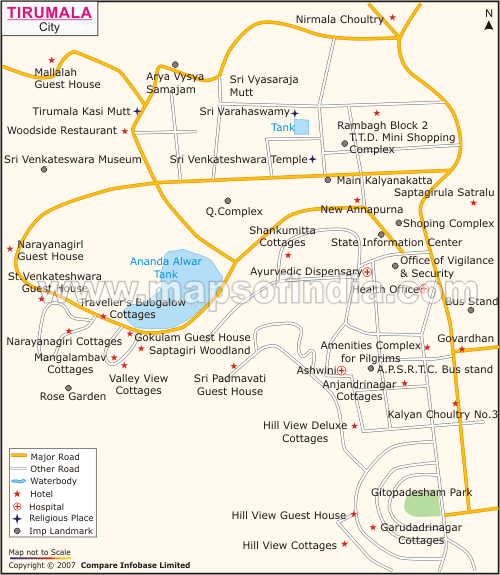
Tirumala is located near the holy city of Tirupati in Chittoor District of
Andhra Pradesh State, South India. The geographical coordinates at which it is situated is between latitude 13° and 14° North and longitude 17° East. The Tirumala Hill is 3200 feet above sea level, and is about 10.33 sq miles in area. It comprises seven hills which are said to represent the seven hoods of Adisesha, thus earning the name, Seshachalam. These seven hills are:
- Seshadri
- Neeladri
- Garudadri
- Anjanadri
- Vrishabhadri
- Narayanadri
- Venkatadri
The sacred temple of Sri Venkateswara is located on the seventh peak, Venkatdri. Temple of Lord Venkateshwara, popularly known as Balaji, at Tirumala, is regarded as the world's richest temple.
lass="intnl_contr_link_block">
