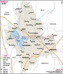
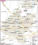
Hassan District occupying a total area of 6826.15 Sq. km encompasses the latitudinal parallels stretching between 12° 13' and 13° 33' North on one hand and the longitudinal meridians extending from75° 33' and 76°38' East on the other.
The district is strategically sited 180 km from the Bangalore metropolis.
The population of Hassan District is estimated to be17, 21,669 in accordance with the 2001 Census Report. Agriculture forms the district's economic backbone where coffee, black pepper, potato, paddy and sugarcane are the major crops.
Hassan District with its lush terrains and bracing, salubrious climate reverberates with legendary tourist spots which include some of the most exquisitely carved sculptures like that of the Belur-Halebeed, Sravanabelagola and Halebeed .
Hassan District Map |
|
||||||||||

| ||||||||||
|
| *District Map of Hassan highlights national highway, major roads, railways, rivers, etc. |
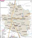
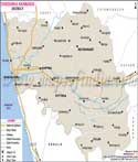
| Major Districts of Karnataka |
 |
 |
 |
 |
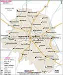
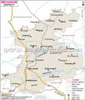
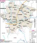
| Bangalore District Map | Belgaum District Map | Gulbarga District Map | Shimoga District Map |
 |
 |
 |
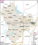 |
| Tumkur District Map | Bijapur District Map | Dakshin Kannad District Map | Mysore District Map |
| other districts of Karnataka >> | |||
Last Updated on : May 11, 2026