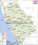
Ernakulam District Map |
|
||||||||||

|
||||||||||
|
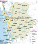
| *Map showing national highways, major roads, district headquarter, etc in Ernakulam District of Kerala. |
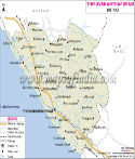
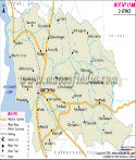
| Major Districts of Kerala |
 |
 |
 |
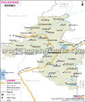 |
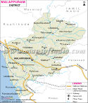
| Ernakulam District Map | Malappuram District Map | Kollam District Map | Palakkad District Map |
 |
 |
 |
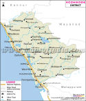 |
| Kannur District Map | Thiruvananthapuram District Map | Kottayam District Map | Kozhikode District Map |
| other districts of Kerala >> |
Ernakulam has a total population of 31,05,798 according to the census of 2001.
The major places of tourism in Ernakulam are as follows:
- Bastion Bunglow
- Bolghatty
- Chottanikkara Temple
- Iringole Forest Temple
- Santa Cruz Bascillica
Last Updated on : May 11, 2026