| |
Major Districts of Kerala |
|
 |
 |
 |
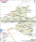 |
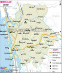
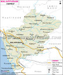
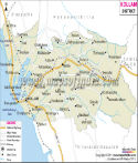
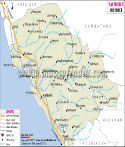
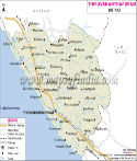
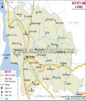
| Ernakulam District Map | Malappuram District Map | Kollam District Map | Palakkad District Map |
| | | | |
 |
 |
 |
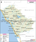 |
| Kannur District Map | Thiruvananthapuram District Map | Kottayam District Map | Kozhikode District Map |
| | | | other districts of Kerala >> |
Malappuram, one of the district of
Kerala, was formed in 1969. The geographical area of the district is 3,550 sq. km. It is the third largest district of Kerala, as it occupies 9.13 per cent of the total area of the state.
The total population of Malappuram is 36,29,640 as per the census report of 2001. The number of male in the total population is 17,59,479 where as the number of female in the district is 18,70,161. The population density of Malappuram is 1022 per square kilometer.
The prospect of Malappuram lies in its tourism. The important locations are-
- Kadampuzha
- Thirunavaya
- Valiya Juma Masjid Malappuram
- Padinharekara beach
- Manjeri
- Adyanpara
Last Updated on : May 11, 2026
