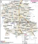
District Map of Vishakapatanam |
|
|
 |
|
|
|
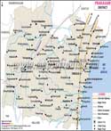
*Vishakapatanam District Map highlights the National Highway, Major Roads, District Headquarter, etc in Vishakapatanam. |
Disclaimer: All efforts have been made to make this image accurate. However Mapping Digiworld Pvt Ltd and its directors do not own any responsibility for the correctness or authenticity of the same. |
| |
Major Districts of Andhra Pradesh |
|
 |
 |
 |
 |
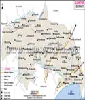
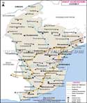
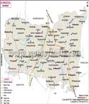
| Anantpur District Map | Guntur District Map | East Godavari District Map | Chittoor District Map |
| | | | |
 |
 |
 |
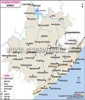 |
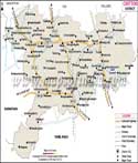
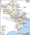
| Prakasam District Map | Krishna District Map | Kurnool District Map | Vishakhapatnam District Map |
| | |
| | | Other Districts of Andhra Pradesh >> |
Vishakhapatnam developed as an important port city in 1933 under the british rule and ever since it has been a leading port. This city has a population of roughly 1,500,000. the main language is Telugu and English.
The Andhra University is located in Vishakhapatnam. The city abounds in educational institutions specially institutes of information technology. Vizag is undoubtedly an industrial city. The foremost among the industries being ship building and tourism The economic development of the city is dependent on the companies like H.P.C.L,Hindustan Zinc limited ,Hindustan Shipyard Ltd .H.S.B.C ,and others.
Vishakhapatnam is certainly a tourists delight. It offers adventure a wide range of enjoyable tour programs. The main tourist attractions are the dolphins nose, zoological park , Rishikonda beach well known for water sport facilities it offers, Simhachalam, Kailashgiri hills and valleys, ancient Buddhist sites like Sankaram and Bojjanakonda the million years old Borrox caves and many more.
Vishakhapatnam is well connected by air, rail and road.
Last Updated on : May 11, 2026