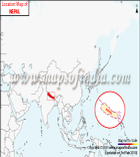
Nepal is a landlocked country that is surrounded by the People's Republic of China to its north and the Republic of India to its east, west and south. Nepal is separated from Bangladesh by the Siliguri Corridor and from Bhutan by the Indian state of Sikkim. It is also home to eight out of 10 tallest mountains of the world, which also include Mount Everest, the highest point on Earth. Nepal is a developing country that is making a steady progress towards growth and development.
India, on the other hand, is the seventh-largest country by area in the world. It shares its borders with countries like China, Nepal, Burma (Myanmar), Pakistan, Bangladesh and Bhutan. The country is the seventh largest economy in the world as per nominal GDP and the third largest economy by purchasing power parity (PPP).
The border crossing of India/Nepal is traditionally known as Sunauli. Sunauli is 70 kilometres of Gorakhpur and 3 kilometres south of Bhairahawa in Nepal. Technically, Sunauli is a place on the Indian side and the place on Nepal's side is known as Belahiya. The border is generally open for 24 hours but gets closed for vehicles at 10 p.m.
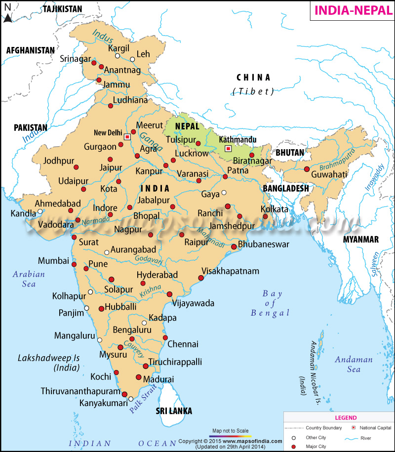
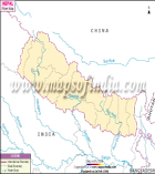
The map here is of India and Nepal showing their borders as well. The shaded area in orange is the area covered under India, while the area shaded in green belongs to Nepal. Along with these two countries, the map also shows the borders of neighbouring countries like Tajikistan, Pakistan, Afghanistan, Sri Lanka, Bhutan and others. The red-coloured dots depict the major cities in both India and Nepal such as Jaipur, Guwahati, Hyderabad and Pune in India and Tulsipur and Biratnagar in Nepal. Other cities are also marked in the map and highlighted by white dots. The rivers passing through both the countries are marked with blue lines. The capitals of both the countries, New Delhi of India and Kathmandu of Nepal, are also marked in the map.
WBST260515
WBVDA
Nepal Maps
Last Updated on : April 21, 2026