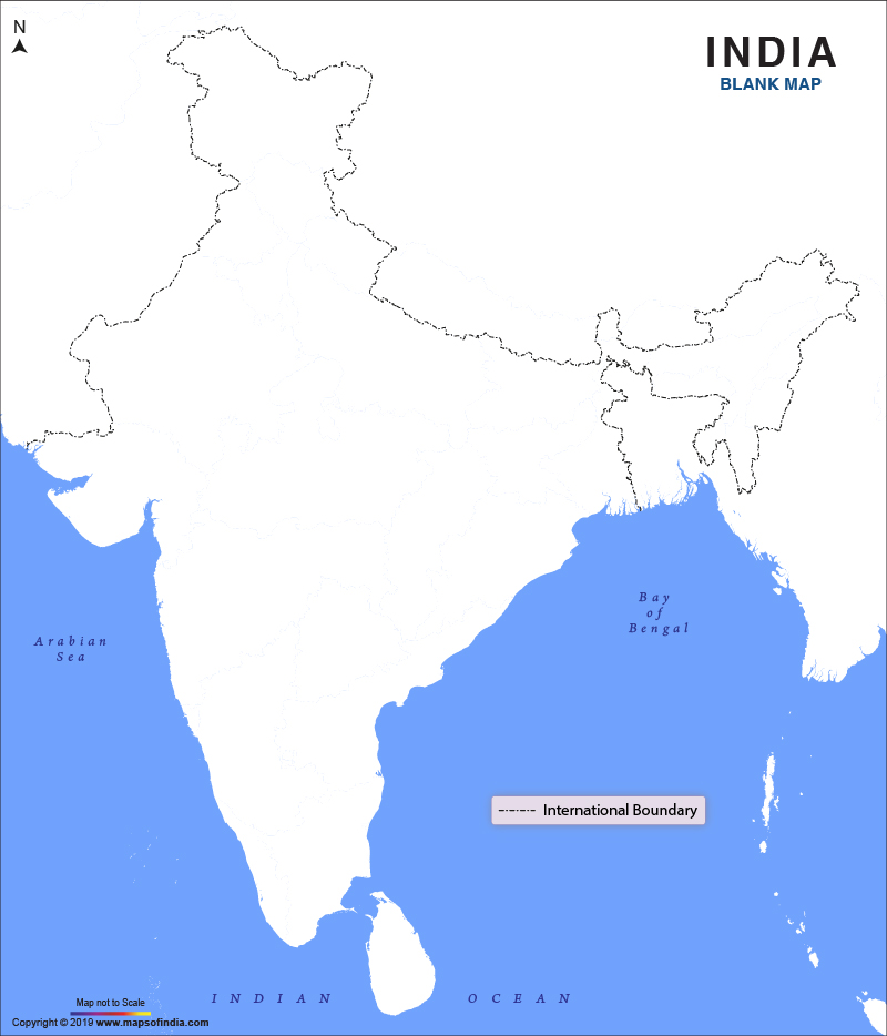
India is one of the world’s largest countries in terms of geographical area. It is the second largest country in terms of population and the seventh largest country in terms of the geographical area in the world. It shares international boundaries with China, Bhutan, Bangladesh, Pakistan, Burma and Nepal. It is divided into 28 states and eight union territories and is surrounded by water on three sides with the Arabian Sea to the west, the Bay of Bengal to the east and the Indian Ocean to the south.
A detailed map is the best option to explain the geographical features of any country. An outline is a map that provides only basic details regarding a geographical area. Additional information can be added to it by the users as it only shows the borders of a country. It helps them to understand the correlation between the two.
An
outline map of India given above that can be used for several purposes. This blank map shows the structural lines of the country. Those areas where it shares international borders are highlighted a little darker.
This map is a perfect guide for people who wish to know about the borders of the country. This map can be downloaded for free. Users can take a printout of the same and use it at their convenience. It can be used for geography lessons in school or self-study at home. It can be the base of many geography activities for the students.
Parents can also teach their children how to label this blank map for physical and political features. Children can colour the map as per their choice and learn and memorise the international boundaries of the country. This map can also be used to mark states, union territories, major cities, major regions, main rivers and important mountain ranges of the country.
Last Updated on: January 14, 2026
