






About
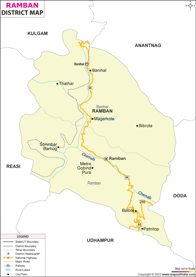
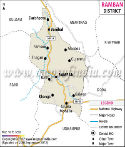
Built into the curves of the Pir Panjal hills, Ramban holds steady between two parts of a divided region. Not quite Jammu, not quite Kashmir, it links them through winding roads and steep slopes. High among the western Himalayas’ lesser arms, the land here is rough, unyielding. Crossing this stretch means navigating turns carved by time and terrain. The journey slows near river cuts and rock faces that lean close. From village perches along ridges, people watch movement below - trucks, buses, occasional herds. Each route forward doubles back on itself before opening up again. This spot matters because few paths bypass its grip. Through rain, snow, or loose stone slides, travel persists. Connections hinge on how well these narrow lanes hold. What lies behind the name "Ramban" ties closely to how the land changed through time. Not long ago, before any official borders drew around it, this spot slept quietly as a small cluster of homes called Nashband. Then came a turning point in history - the creation of the Jammu and Kashmir princely state under Dogra leadership shifted everything. Instead of winding paths, royalty chose a steep, straight road linking Jammu to Udhampur, then Banihal, aiming for Srinagar's cooler summers. Right there, Nashband stood in just the right gap along that path. Traveling kings needed pause points; so tents gave way to stone, pathways widened, watchposts rose. Slowly, the old title faded like footprints in rain. In its place grew Ramban - not merely a new label, but proof of shelter earned by movement, by passage, by necessity.
History & Culture
Old stories about Ramban tell of slow change, once cut off but now tied tightly to far places. Back then, the land we call Ramban today was made up of separate highland clusters, each living on its own, only lightly linked to neighboring hill kingdoms. From old writings, like those collected by C.E. Bats in The Gazetteer of Kashmir, it appears that before 1850, the heart of Ramban village was made up of under two dozen small homes along the southern edge of the Chenab River. Back in 1846, everything changed at ground level. After the Treaty of Amritsar went through, power settled firmly with Raja Gulab Singh - he became ruler of a fresh princely state called Jammu and Kashmir. Getting troops, supplies, and officials back and forth between Jammu and Srinagar demanded something steady through the rough Pir Panjal range. So they shaped Ramban into an official stopping point along the trail. A strong, lasting structure - part rest house, part stronghold - rose under Dogra orders; meanwhile, a heavy wooden bridge tamed the rushing Chenab River just nearby. Under Maharaja Ranbir Singh’s rule, roads began stretching across rough terrain. A new route for carts was built through Banihal, guided by royal command - connected by a strong hanging bridge above the Chenab River near Ramban. That old path later became part of today’s main highway in Jammu and Kashmir. With more travelers moving through, the small settlement grew into a busy trade hub. Due to rising population pressures and complex local needs, authorities separated Ramban from Doda district - making it official on April 1, 2007. Festivals shape days in Ramban, each one arriving with prayer or a change of season. Through spring sowing or winter chill, people gather without division. Devotion weaves through harvests, just as songs pass between generations. Moments of faith blend into rhythms of soil and sky. Shared joy appears when temple bells ring alongside village drums.
Economy
High up among steep slopes, Ramban's economy follows the shape of its land - twisted, narrow, broken. With so little flat ground - barely one out of seven parts suitable - farming never became the main path. Instead, people turned toward moving goods through passes, working in government offices, selling small items at roadside stalls. Roads cut through rock, bringing movement, which then feeds jobs linked to motion itself.
Government Sector
Stability in jobs here rests heavily on how rules are managed and who runs things locally. Across the district collectorate, folks earn their living serving in civil administration. Police stations employ a large number too. The regional courts keep people working just as much. Municipal councils provide steady work for many households. Jobs here support thousands of families, quietly shaping daily life. Out here, schools run by the government - covering primary up through higher secondary levels - offer jobs to many who’ve studied.
Public Sector
Heavy engineering shapes much of Ramban's public work, yet transport services play a big role too. Instead of blending in, clean power stands out across the region. What shows up next often ties back to machines, though movement of goods keeps pace. Energy efforts push forward separately, but they link tightly to daily function. Factories dominate sightlines; still, wires and rails carry equal weight. Out here, work on the NH-44 keeps growing - more lanes mean more jobs, more movement. Widening doesn’t stop; neither does upkeep or shoring up weak spots along the route.
Services Sector
Out here, movement shapes money. Every day brings a stream of cars, people moving through - fueling what grows fastest in Ramban's local scene. This flow keeps things running, quietly powering shops, rides, stops along the way. Not factories or fields, but motion drives the pulse beneath private work. Out here along the national highway, truck stops show up first - fuel pumps nearby, then garages fixing engines day and night. Cranes lift cargo where needed, while roadside help arrives when vehicles fail without warning. Workers find work in these spots, turning wrenches or steering heavy rigs through long stretches. Pay comes from movement, not offices, built around wheels that never stop rolling.
Tourism
Hidden away, Ramban waits quietly for those who love nature, long hikes, or old stories. Not just flat riverside paths but also peaks buried in snow shape its many faces. From green dips to white crowns, change follows every turn. Few have walked these trails, yet each tells volumes without words.
Gajpat Fort
High above the Chenab valley, Gajpat Fort catches the eye of those who love old stories etched in stone. Perched on a lone mountaintop, Maharaja Gulab Singh had it raised to watch distant paths where travelers once passed through centuries ago. From that height, guards could spot movement miles away, making it a key point long ago. Even now, with wind and rain having chipped at its edges, the rugged walls draw hikers eager for quiet views. Stone by stone, it still holds presence against the sky.
Tata-Pani (Hot Springs)
Bubbling up through cracks in the earth, the spring water at Tata-Pani draws visitors from across Jammu. Though tucked within the Gool sub-division, its reputation travels far beyond borders. Heated deep below ground, the flow carries a strong scent of sulfur into open-air pools. Locals speak openly about healing - skin irritations fading, swelling in joints quieting down. Bathing spaces stand ready, built simply for those who come seeking relief. Not everyone arrives on pilgrimage, yet many leave feeling changed.
Daggan Top and Chamsar Top
Up above, the land opens wide toward peaks of the Pir Panjal range. Rolling green fields at Daggan Top feed wandering Bakarwal flocks when the snow melts each year. A quiet alpine lake sits hidden at Chamsar Top - only footsteps over several days can reach it through strict trails.
Demographics
High up in the hills, Ramban holds few people, though they stay despite tough land around them. Life here moves slow, formed heavily by steep slopes and rocky ground nearby. Total Population 283713. Male Population 149132. Female Population 134581. Population Growth Rate 31.99 Decadal. Population Density 213 Per Square Kilometer. Sex Ratio 902 Females Per 1000 Males. Average Literacy Rate 54.27. Male Literacy Rate 68.82. Female Literacy Rate 38.04. Rural Population 95.84. Urban Population 4.16 . Most people in Ramban follow Islam, making up about 70.68%. Next come Hindus, accounting for nearly 28.56%. Smaller groups - Sikhs, Christians, and Buddhists - add quiet color to daily life there. Rural living defines most households; almost 96 out of every 100 reside outside cities. Life here ties closely to land passed down through generations. Mountains shape routines more than maps suggest.
Administration
High up in rugged hills where landslides happen often, Ramban runs its daily work carefully. This area answers to the Jammu Division when it comes to courts and government rules. Leading things on the ground is a person called the District Magistrate - some know them as the Deputy Commissioner - who keeps tabs on building plans, money matters, plus peace and order tasks. Through rocky paths and tough access, decisions flow from that central role. A leader called the Tehsildar runs every tehsil, handling daily administration and income matters on the ground. The person in charge acts as both manager and record keeper for local affairs across each area. Down in the valleys, power shifts closer to home through a web of community development zones - one hundred forty-two Panchayat Halqas trace the shape of shared decision-making. Village leaders find room to act when planning small-scale needs, guided by proximity rather than distant offices. Scattered across rugged slopes, many tiny herder camps cling to high folds of land unseen on standard maps. Official counts list 127 revenue villages; yet census figures sometimes note only 116 central clusters where people gather regularly. Each ridge line hides pockets of life barely touched by paperwork.
| Official Name | Ramban |
| Location | Jammu- Kashmir |
| Area | 1329 sq. km |
| Population | 2,83,713, (2011 census) |
| Language | Urdu, English |
FAQs
Q1: What number of Villages exist in Ramban?
126 villages show up on government rolls in Ramban, each marked by name and boundary.
Q2: Population size in Ramban district stands at what number?
Ramban district counts 283,713 people when numbers are added up by officials - males make up 149,132, while females come in at 134,581.
Q3: What is the Ramban District Known For ?
Built into the mountains, Ramban stands out as a key passage linking Jammu to the Kashmir Valley through National Highway 44. Thanks to feats such as the Jawahar Tunnel, it draws attention worldwide for bold infrastructure work. The USBRL rail initiative adds another layer to its growing reputation in large-scale construction. Nestled nearby, the green clearings of Sanasar bring quiet beauty to the region.
Last Updated on : July 21, 2026
