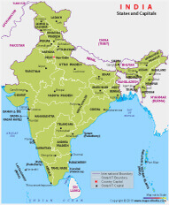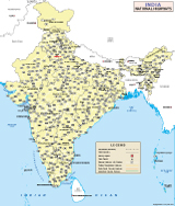
Political Map Of India

MapsofIndia.com is India's most trusted site for History and Geography information for Civil Services Aspirants.
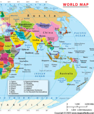
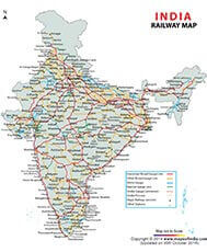
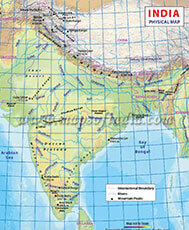
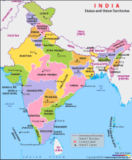
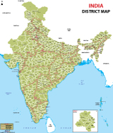
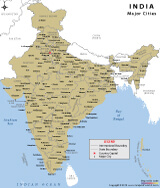
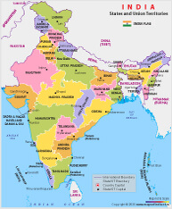
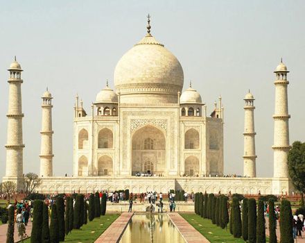
India, the seventh-largest country in the world, is known for its rich heritage and diverse culture. It is the most populous democracy in the world, and three water bodies surround it: the Indian Ocean, the Arabian Sea and the Bay of Bengal, as can be seen from the India Map.The new map of India depicts 28 states, 8 Union Territories that includes the National Capital Territory of Delhi. The locations of neighbouring countries like Pakistan, Afghanistan, China, Nepal, Bhutan, Bangladesh and Myanmar are depicted on the map. India, in international parlance, is a popular tourist destination with a wealth of heritage to share with the world. Besides the famous Taj Mahal, the country has much more to offer, ranging from its historical sites, festivals, and people from different cultural practices to the countless scenic spots across the country. The India Map exhibited below is a helpful tool to understand the demographics, political and geographical boundaries of the country. Besides being a repository of maps for railways, travel attractions, roads, and many other informative contents, Maps of India also offers state maps, district maps, city maps, village maps, and much more.
Different people picture different things when they hear the word “India”. Rarely does a word have so many meanings. For some, India is a land of centuries rich history; for others, it is the place with diversity in all spheres, be it- culture, geography, festivals, music, and of course, food. For us? It is all of those things lovingly wrapped up together and so much more, making it the India we love.
for further info please get in touch with: