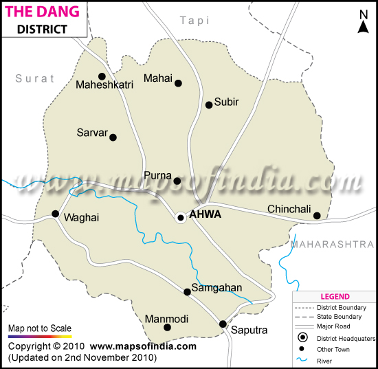
The Dangs District Map


District Map of The Dangs

separator Click here for Customized Maps arrow custom map
District Map of The Dangs MAHARASHTRA Navsari Districts Surat Districts Tapi Districts
Print Email Save Buy Now 
*The Dangs District Map highlights the National Highways, Major Roads, District Headquarter, etc. Disclaimer


Located high in the Saputara hills, adjoining the borders of Maharashtra State, The Dangs is home to 186,729 people as of 2001 census and primarily a place for tribal inhabitation.

The district is mainly covered by forests, which are rich sources of timber, honey, wax and lac.

The Dangs Darbar, an annual fair held few days before Holi in Ahwa, attracts tourists and merchants from faraway places and is also the place to experience the colorful Dang culture and heritage.

Other places of tourist interest are
  • The Saputara Lake
  • The Nageshwar Mahadev Temple
  • Gira Waterfalls
  • Vansda National Park

Last Updated on : 12 September 2011