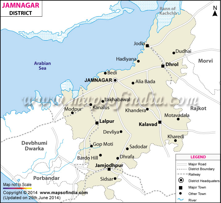
The district of Jamnagar occupies an area of 14125 sq kms. Brass industry is one of the significant revenue earner of this place. The 200 km long coast of Jamnagar accommodates several renowned companies like Essar, Reliance and Tata. Pratap Vila Palace, Lakhota Island Palace and Darbargadh Palace of the district attract a huge number of tourists from every part of the world.
Last Updated on : January 14, 2026
Places to Visit in Gujarat
