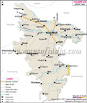
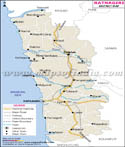
Wardha District is located in the state of
Maharashtra in western India. Until 1862, Wardha was part of the Nagpur District. Later it was separated and its headquarters was established near Pulgaon at Kaotha. In 1866 the headquarter town of Wardha was established on the site of the hamlet of Palakwadi.
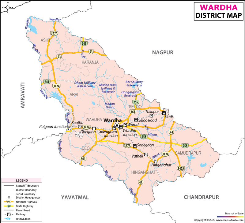
Wardha District Map is very useful for those traveling to Wardha.
Wardha District is situated in the north eastern part of the state. The district is bordered to the north and west by the
Amravati district and by the
Yavatmal district to the south. In the east it is bordered by
Nagpur district and by
Chandrapur district in the south east.
Along with the districts of Nagpur,
Gadchiroli,
Bhandara and Chandrapur, the district is also part of the Nagpur Revenue division. Wardha District is subdivided into three subdivisions namely Wardha, Hinganghat and Arvi. The district has 507 Gram Panchayats, 1387 villages and 6 Municipal towns.
