Solapur District Map


Click any neighbouring District/State on the Map and get the Detailed Map

District Map of Solapur

separator Click here for Customized Maps arrow custom map
District Map of Solapur KARANATAKA Osmanabad Beed Latur Ahmadnagar Pune Satara Sangli
Print Email Save Buy Now 
*The Map showing National Highways, District headquarter, Major Roads, etc in Solapur District, Maharashtra Disclaimer


  Major Districts of Maharashtra  
Pune District Map Aurangabad District Map Nagpur District Map Kolhapur District Map
Pune District MapAurangabad District MapNagpur District MapKolhapur District Map
    
Nashik District Map Satara  District Map Jalgaon District Map Ratnagiri District Map
Nashik District MapSatara District MapJalgaon District MapRatnagiri District Map
 
  other districts of Maharashtra >>

Solapur is a district in the state of Maharashtra in India. The headquarters of the district is located in the town of Solapur.

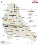
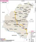
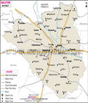
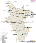
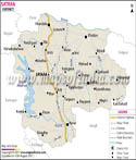
The district is located in the south eastern part of the state and is situated by the Bhima river.

Solapur district map helps travelers with useful information about the physical features of the region. Solapur district in Maharashtra is spread over an area of around 14,886 square kilometers. The capital city of Mumbai is around 450 Km from the district.

Solapur district has a tropical climate. The summer season is hot and humid while the winters are pleasant. The ideal time for traveling to Solapur is between the months of October and February.

om Hyderabad - 305 KM
  • From Delhi - 1553 KM
  • From Bangalore - 589 KM
  • From Nagpur - 664 KM
  • Solapur Distance Chart


    Last Updated on : 25/04/2013